GDG AI for Science - Australia
Learn how Google’s new Satellite Embedding dataset can be used to accelerate geospatial analysis and help you make better maps, faster.
86 RSVP'd
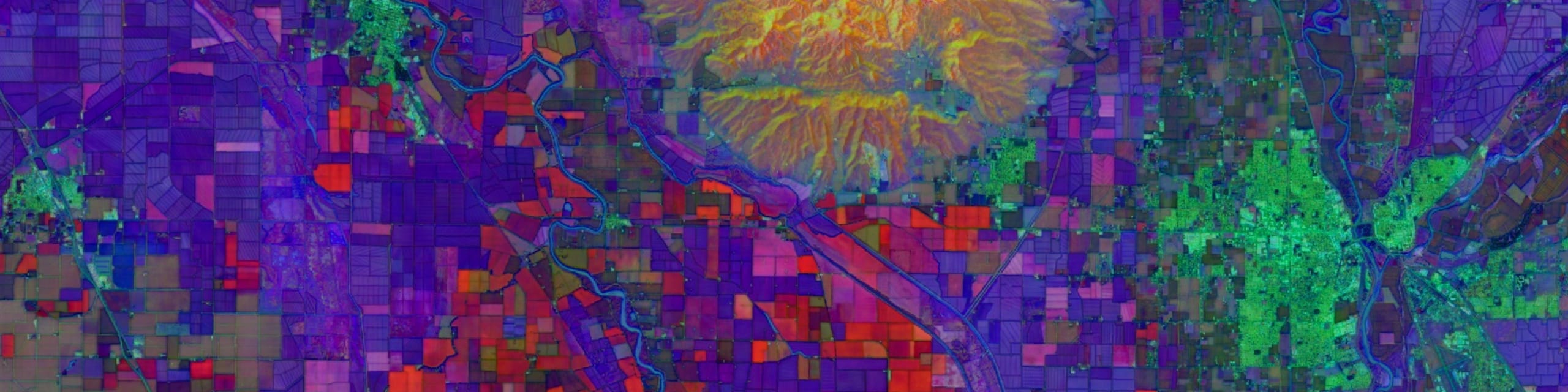
The Earth Engine Data Catalog hosts petabytes of Earth observation imagery, yet transforming raw pixels into accurate maps and actionable insights remains an ongoing challenge. This hands-on session introduces Google’s new Satellite Embedding Dataset, a revolutionary image collection that leverages multi-source, multimodal deep learning to help you create better maps significantly faster and with fewer manual annotations. Unlike traditional deep learning models requiring users to fine-tune weights and run their own inference, this dataset provides precomputed, analysis-ready embedding vectors, effectively packing deep-learning-powered feature extraction into every pixel.
We’ll learn more about how the dataset was generated and explore how Satellite Embeddings can be used for pixel-based similarity search, supervised and unsupervised classification, and change detection analysis using the Earth Engine API.
All code examples and demos will be shared with participants, so to get the most out of this session an Earth Engine account is strongly recommended (but not required).
Research Scientist
Monash University
Organizer
Haizea Analytics
Organizer
Monash University
Organizer
Macquarie University
Macquarie University
The University of Queensland
University of Queensland
Science Catalyst Program Manager
University of Sydney
University of Sydney
Contact Us